
Geographic information science
Geographic information technologies are vital in scientific research, natural resource management, government and the private sector. Gain the knowledge you need to pursue a career grounded in GIScience technology — and be empowered to analyze the geospatial data around you — when you earn your Undergraduate Certificate in Geographic Information Science online from Oregon State University.
Study GIScience core concepts including cartography, remote sensing and data analysis, and tailor your experience through elective courses you’ll select with the help of an advisor. This program will enable you to put your GIScience skills to work in a new career, or continue your education by applying your certificate credits toward a full degree in a related field.
Skills you’ll gain in OSU’s online geographic information science certificate program
As a student in Oregon State’s online geographic information science certificate program, you’ll gain the in-demand skills you need to stand out in the job market and level up your career. You’ll learn from expert Oregon State faculty who have real-world experience in the field.
- Surveying
- Cartography
- Remote sensing
- Geospatial information
- Satellite image analysis
- Geovisual analytics
- Web mapping
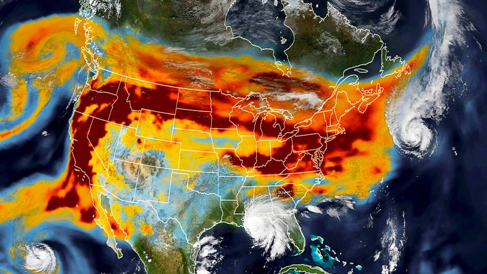

Program details
Study how geographic data is collected and learn to use computational, statistical and mathematical methods to manage, analyze and visualize it. This program is customizable, as nearly half of your required credits come in the form of electives.
The online GIScience undergraduate certificate program is offered by Oregon State’s College of Earth, Ocean, and Atmospheric Sciences.
Certificate requirements
A total of 27 quarter credits are required to earn your geographic information science undergraduate certificate. Curriculum details and certificate requirements are available on Oregon State’s academic catalog.
Additional program features
Internship or research
Fulfill up to 4 elective credits by completing an internship or conducting research in earth and environmental sciences. If you’re interested in either option, you’ll work with the program director to find the right opportunity and get started once you’re admitted to the certificate program.
Computer software requirements
The courses that utilize ArcGIS Pro software are not Mac-compatible. Your PC must meet the system requirements listed on the ArcGIS Pro website, or you may use the College of Earth, Ocean, and Atmospheric Sciences Virtual Desktop Infrastructure instead.
Prerequisites
Depending on your educational background, you may need to complete additional coursework prior to enrolling in this program and taking the required certificate courses. We recommend that you evaluate this prior to applying for admission.
Start on the pathway toward a bachelor’s degree
Once you complete the Undergraduate Certificate in Geographic Information Science, you can apply the credits you earn directly toward the following Oregon State’s bachelor’s degrees:
- Environmental sciences: The certificate credits will help you fulfill the major's specialization requirement.
- Geography and geospatial science: The GIScience coursework corresponds with the GGS degree requirements.
- Natural resources: The certificate provides the majority of credits needed for the major’s landscape analysis specialization option.
If you plan to apply these credits toward a full degree, we encourage you to first contact the certificate program to learn about the degree requirements. Please note that acceptance into a certificate program does not guarantee acceptance into a full degree program.
Explore Oregon State’s microcredentials
You can gain highly specialized skills that are in demand by employers — and do it with less of a time and financial commitment — when you earn a microcredential online from Oregon State. Choose from a large and growing collection of these short-form offerings that can help you upskill quickly.
Related programs
3 programs available
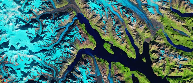
Geography and Geospatial Science
B.S.
Use the power of big data analysis and visualization technologies to explore humanity's relationship with our physical environment and natural, cultural and built resources.

GIS and Mapping Foundations
Microcredential (introductory)
Build or formalize your GIS and mapping skills in a program that blends foundational instruction and hands-on experimentation for rewarding careers in planning and data analytics.
Environmental Sciences
B.S.
Pursue a rigorous, integrative education in science and policy as you learn to address global challenges like climate change, pollution and biodiversity loss as an environmentally focused scientist or analyst.
Request
information
To ensure that you receive emails from us, please add "ecampus@oregonstate.edu" and these domains to your safe senders list: “@oregonstate.edu,” “@discover.oregonstate.edu” and “@email.oregonstate.edu.”
† By providing your mobile phone number and selecting “Yes,” you accept the applicable Terms & Conditions and Privacy Policy and consent to receive transactional/informational SMS communications from Oregon State Ecampus regarding programs, processes, deadlines, important events, and your interest in enrollment. Message frequency varies. Message and data rates may apply. Reply STOP to opt out. Reply HELP for assistance.
OSU does not sell Personal Information and shares information only as described in this Privacy Policy and as permitted or required by law. Consent is not required to submit an inquiry, apply for admission, or enroll in an OSU Ecampus program.
Contact
Our enrollment services team can help answer questions about online learning at Oregon State Ecampus and how to get started.
8 a.m-4 p.m. PT Monday-Friday
Contact Ecampus or book an appointment
To ensure that you receive emails from us, please add "ecampus@oregonstate.edu" and these domains to your safe senders list: “@oregonstate.edu,” “@discover.oregonstate.edu” and “@email.oregonstate.edu.”
Book an appointment

