Curriculum
Upon completion of this 19-credit online program, you will receive graduate-level university credits and a Graduate Certificate in Geographic Information Science. You can also apply the certificate as needed points toward the national credential of GISP (Certified GIS Professional) offered by the GIS Certification Institute.
Program curriculum is geared toward working professionals interested in advancing their careers within the GIScience field. The courses offer quality content that is engaging, interactive and effective. Visit OSU's academic catalog for curriculum details.
Required courses (8 credits)
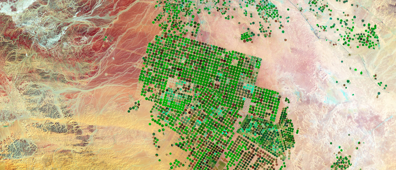
- GEOG 580 – Remote Sensing I: Principles and Applications (4)
- GEOG 560 – GIScience I: Introduction to Geographic Information Science (4)
Elective courses (11+ credits)
- GEOG 510 – Internship (1 or more)
- GEOG 551 – Planning Principles and Practices for Resilient Communities (4)
- GEOG 564 – Geospatial Perspectives on Intelligence, Security & Ethics (3)
- GEOG 561 – GIScience II: Analysis and Applications (4)
- GEOG 562 – GIScience III: Programming for Geospatial Analysis (4)
- GEOG 581 – Satellite Image Analysis (4)
Additional program features
Internship
You may participate in a 10-week internship (GEOG 510) in which you complete a project of a GIScience nature and submit a final report. Many students in this program are employed by an agency or organization where a GIScience-related internship experience can be easily arranged. If you are not currently employed in the field or are making a career change, the program will try to match you to internship providers in your area.
Computer software requirements
The courses that utilize ArcGIS Pro software are not Mac-compatible. Your PC must meet the system requirements listed on the ArcGIS Pro website, or you may use the CEOAS Virtual Desktop system instead.
Notice: Oregon State University students may now take part in internships anywhere in the United States. Read more about Ecampus’ authorization and compliance.
Important dates
These are the start dates for OSU’s next two terms. However, this program only admits for fall, winter and spring terms.
See our academic calendar for our full quarter term schedule.
Degree quick facts
* Oregon State University is on a quarter-term system. There are four quarters each year and classes are 11 weeks long. This program's 19 quarter credits are equal to 12.67 semester credits.
† Based on current tuition rates. No additional charge for nonresident students. Does not include course materials and associated fees and expenses.
‡ You can complete all or nearly all requirements of this program online. View the curriculum.
Find application deadline
View required or recommended deadlines for your student type on our application deadlines page.
Ready to apply?
Once you've gathered the information you need to know before you apply to Oregon State University, take the next steps.
Apply now
Related stories
Footer
Social Media and Canvas
Copyright 2025 Oregon State University
Privacy Information and Disclaimer
For Faculty
